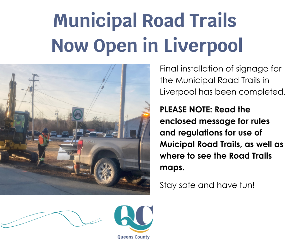
NEW! Municipal Road Trails Open In Liverpool
The municipal road trails for use by ATV/OHVs will be open as of Wednesday March 25, 2026.
Road trails provide ATV/OHV users with trail-to-trail and trail-to-services connectivity in Liverpool via small sections of provincial and municipal roadways that link existing multi-purpose trails.
Maps of the routes are available at: www.regionofqueens.com/roadtrails and are available on the ATV Association of Nova Scotia app.
Road trails in Liverpool will follow the Road Trail Act as indicated in Region of Queens Municipality’s Bylaw 28: https://www.regionofqueens.com/…/route%3A/download/4313/ To review the Province of Nova Scotia’s Road Trails Act which includes rules, operating equipment, expectations, and current provincial road trails, please go to the following website: https://novascotia.ca/road-trails-act-overview/
SUMMARY OF ROAD TRAIL USE
WHO can use them:
- Riders with their safety course or that can demonstrate they are exempt.
- Riders with machines that are registered.
- Riders with machines with proof of current insurance.
- Riders over the age of 16 with a “full” Driver’s License.
SAFETY EQUIPMENT REQUIRED:
- DOT-approved helmet – this includes side-by-side users.
- If a machine has seatbelts, they must be worn on Road Trails.
- Factory lights are to be turned on; you can use hand signals for turning and stopping.
- Driver’s side mirror.
- Passengers are permitted on purpose-built machines (2 Ups) and in manufacturer seats of side by sides.
WHEN can they be used:- All Road Trails (Provincial and Municipal) are open from half an hour before sunrise to half an hour after sunset.
- In the event that a road trail requires to be closed temporarily, it will be posted firstly on the ATVANS app, and then on social media. Users should be referring to the app before, and while, travelling.
WHERE are there provincial road trails in Queens County?- Beech Hill Road from the inland end to the Hunts Point Trail (former railbed).
- Broad River Hill from the underpass on the Old Port Mouton Resource Road in Summerville up to River Head Road and Highway 3.
- River Head Road from the intersection with Highway 3 to the intersection with the Summerville Extension Trail (former rail bed).
- River Road (Milton) from the intersection of the Deep Brook Trail and River Road to the intersection of the River Road and Tower Road (at the access road to Big Guzzle Bridge over the original riverbed).
*** PLEASE NOTE: The new municipal road trails end at Queens Place Emera Centre (at the corner of Highway 3 and Old Cobbs Barn Road). You CANNOT continue to Brooklyn on the road, and there is no current trail established in Brooklyn. Queens County ATV Association has filed for a provincial road trail to make this connection and anticipate it will be open in July. To get to the Dwight Crouse Trail and connect to the Bull Run Trail, use the inland loop via the Milton River Rd. This route is available on the ATVANS app.
