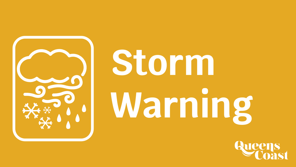
Winter Storm Warning and Weather Statement Issued by Environment Canada
Friday, January 28, 2022, 3:47 p.m.: Winter storm warning and Special Weather Statements have been issued by Environment Canada in advance of a significant storm system expected to impact Nova Scotia on Saturday and Sunday. In Queens County, hazardous winter conditions are expected from conditions including snow, blowing snow, freezing rain and strong winds. Forecast details will become more clear as the system approaches. Please follow updates on the Environment Canada website: https://weather.gc.ca/warnings/report_e.html?ns4
Following is a summary of the information from Environment Canada, at 3:47 p.m., Friday, Jan. 28, 2022:
Snow at times heavy and blowing snow will begin early Saturday morning over southwestern regions and will quickly spread northeastward throughout the morning. Snow is expected to transition to an extended period of freezing rain or ice pellets throughout the day on Saturday, before changing to rain later in the day in most regions. The highest snowfall totals are expected over western and northern regions. Freezing rain will be most significant inland away from the immediate Atlantic coast.
Strong wind gusts will likely cause power and utility outages Saturday and again late overnight Saturday into Sunday morning, Strongest wind gusts are expected over exposed coastal locations.
The storm will likely cause storm surge and rough and pounding surf for the Atlantic coast of mainland Nova Scotia and Cape Breton Island on Saturday afternoon and again early on Sunday.
Temperatures will fall well below zero Sunday morning behind the storm, causing standing water to freeze.
Rapidly accumulating snow could make travel difficult over some locations. Ice build-up may cause tree branches to break.
Winter storm warnings are issued when multiple types of severe winter weather are expected to occur together.
